


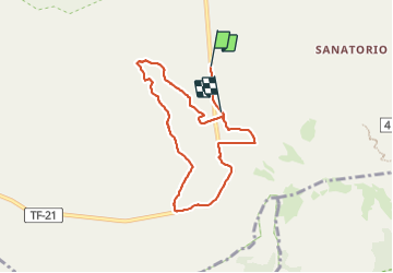


11,3 km | 19,8 km-effort

Gebruiker


Gratisgps-wandelapplicatie
 SityTrail
IGN / Geografische instituten
SityTrail World
De wereld gaat voor u open
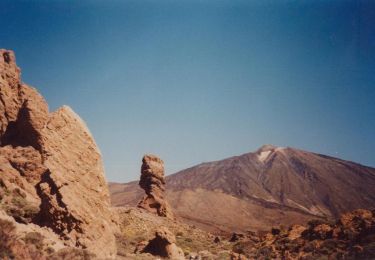
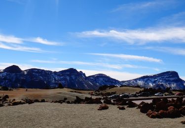
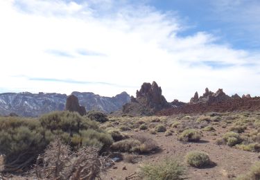
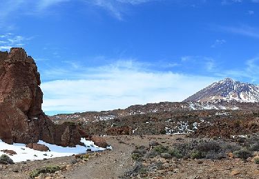
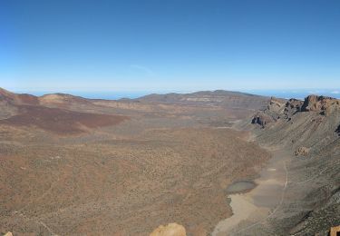
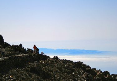
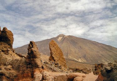
Tocht Stappen van 9,3 km beschikbaar op Canarische Eilanden, Santa Cruz de Tenerife, La Orotava. Deze tocht wordt voorgesteld door fredo155.
Morceau le long de la route


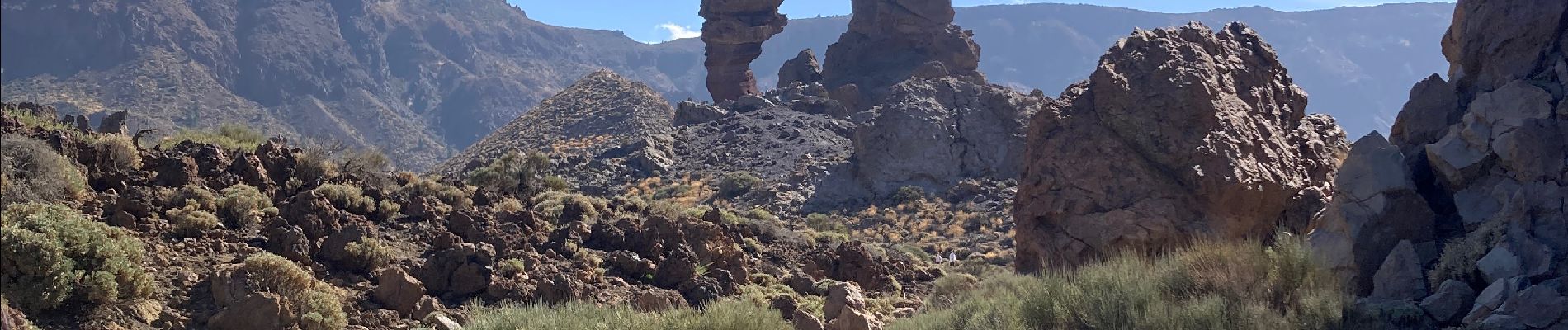
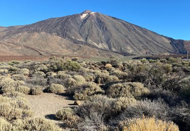
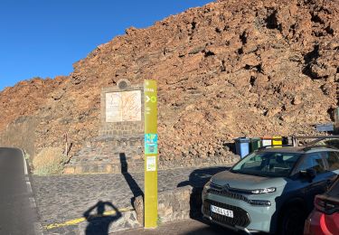
48 fotos in totaal. Klik op een foto om ze allemaal in de galerij weer te geven.
Te voet
Stappen
Te voet
Te voet
Te voet
Te voet
Te voet
Te voet
Te voet